Existing conditions, captured in 3D

Design from
the real world.

FARO laser scanning, Autodesk ReCap processing, and Revit integration give renovation and industrial teams a shared, measured view of existing conditions before engineering begins.

Discuss a scanning project
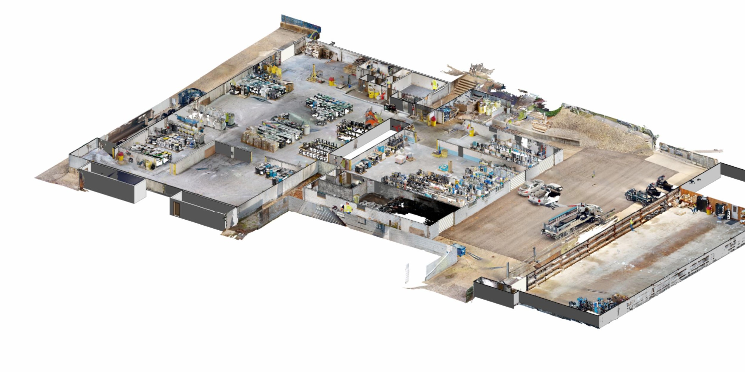
Anonymized 3D existing-condition model of an industrial facility
FIELD TO MODELFARO → ReCap → Revit

What it solves

Measure once.
Coordinate everywhere.

Existing buildings and operating facilities rarely match the last set of available drawings. FARO terrestrial laser scanning records the actual geometry of structure, equipment, process lines, openings, floors, and surrounding constraints in dense three-dimensional detail.

Instead of relying on incomplete information or a collection of manual dimensions, project teams can use one coordinated point cloud as the basis for design, coordination, pricing, and field planning.

The process

From field
to informed design.

SSD manages the workflow from scan planning through Revit-ready coordination, tailoring the level of detail to the decision the project needs to make.

01

Plan + capture

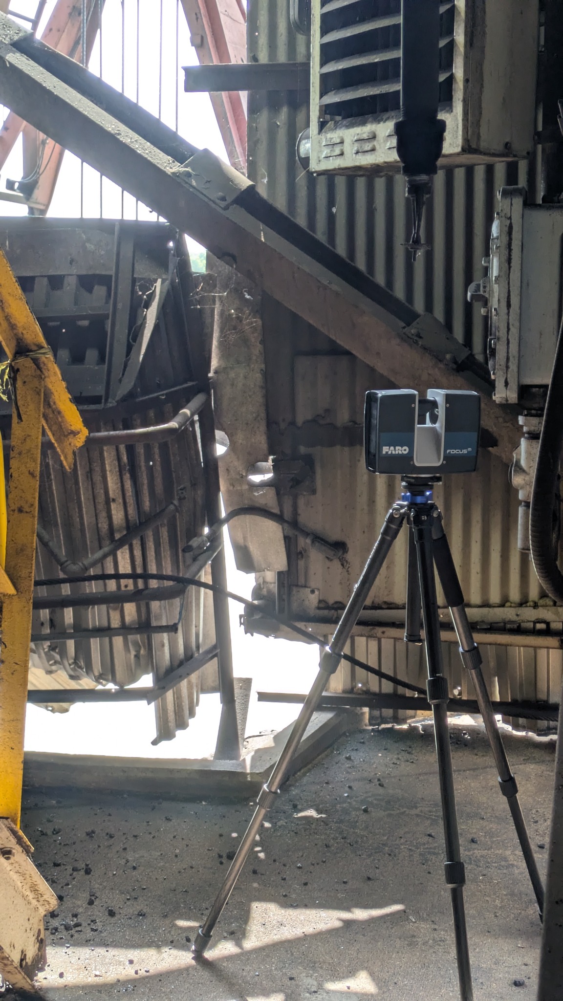
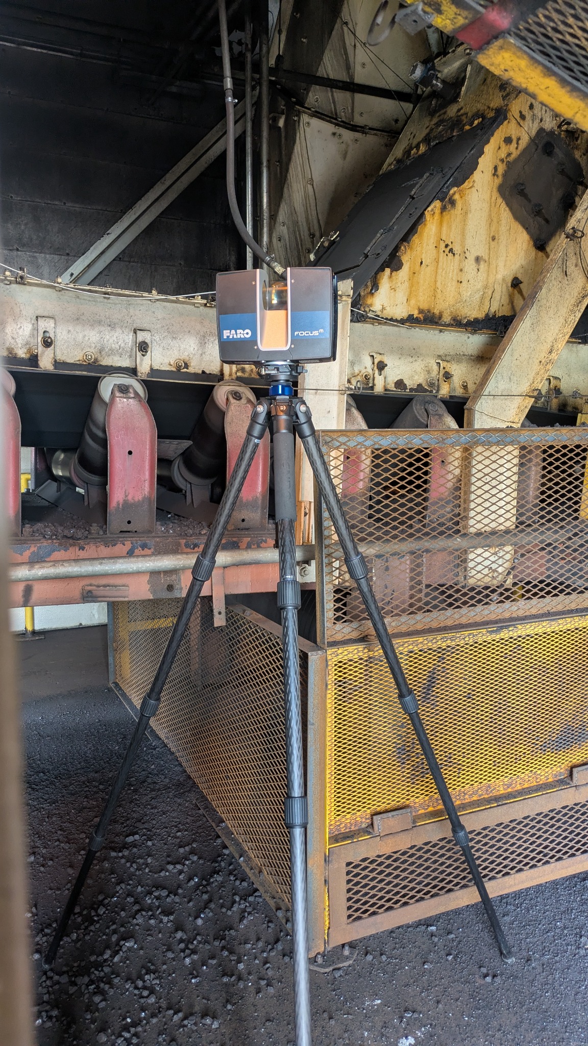
SSD establishes scan positions around the spaces, equipment, and structural interfaces that matter. FARO terrestrial laser scanning captures millions of measured points from each position, documenting geometry that is difficult, unsafe, or time-consuming to measure by hand.

02

Register + process

Individual scans are aligned into one coordinated point cloud, checked for coverage, and processed in Autodesk ReCap. The result is a navigable, dimensionally reliable existing-condition record that design teams can review from the office.

03

Coordinate + model

The ReCap point cloud is linked into Autodesk Revit as a real-world design reference. SSD can develop an existing-condition model, structural base drawings, sections, elevations, or targeted model geometry for the areas affected by the work.

04

Design with confidence

Engineers, architects, contractors, and fabricators can coordinate new steel, supports, framing, equipment, and clearances against the documented field condition before work reaches the jobsite.

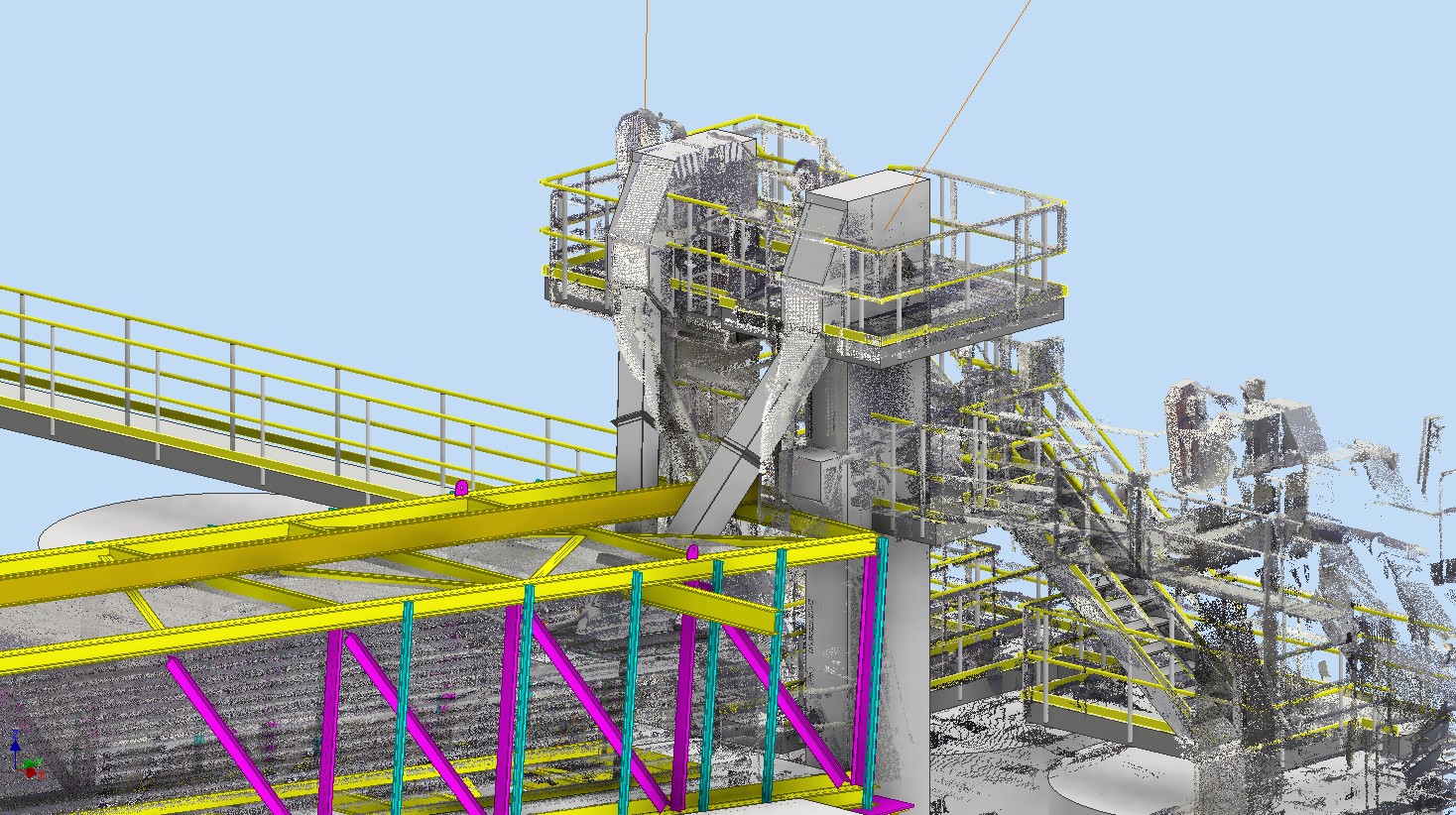
Industrial point cloud integrated with structural steel model

Autodesk workflow

ReCap processing.
Revit-ready context.

Autodesk ReCap provides the bridge between field capture and model-based coordination. Once registered, the point cloud can be clipped, navigated, measured, and linked into Revit so the design model sits inside the documented reality of the project.

SSD uses this workflow to verify connection points, establish accurate elevations and clearances, coordinate new framing with existing work, and create dependable background information for structural engineering.

Typical deliverables

Registered color point cloudAutodesk ReCap project filesRevit-linked point cloud coordinationExisting-condition BIM modelDimensioned plans, sections + elevationsStructural base drawings + design documents

Representative existing-condition documentation

One capture.
Two useful views.

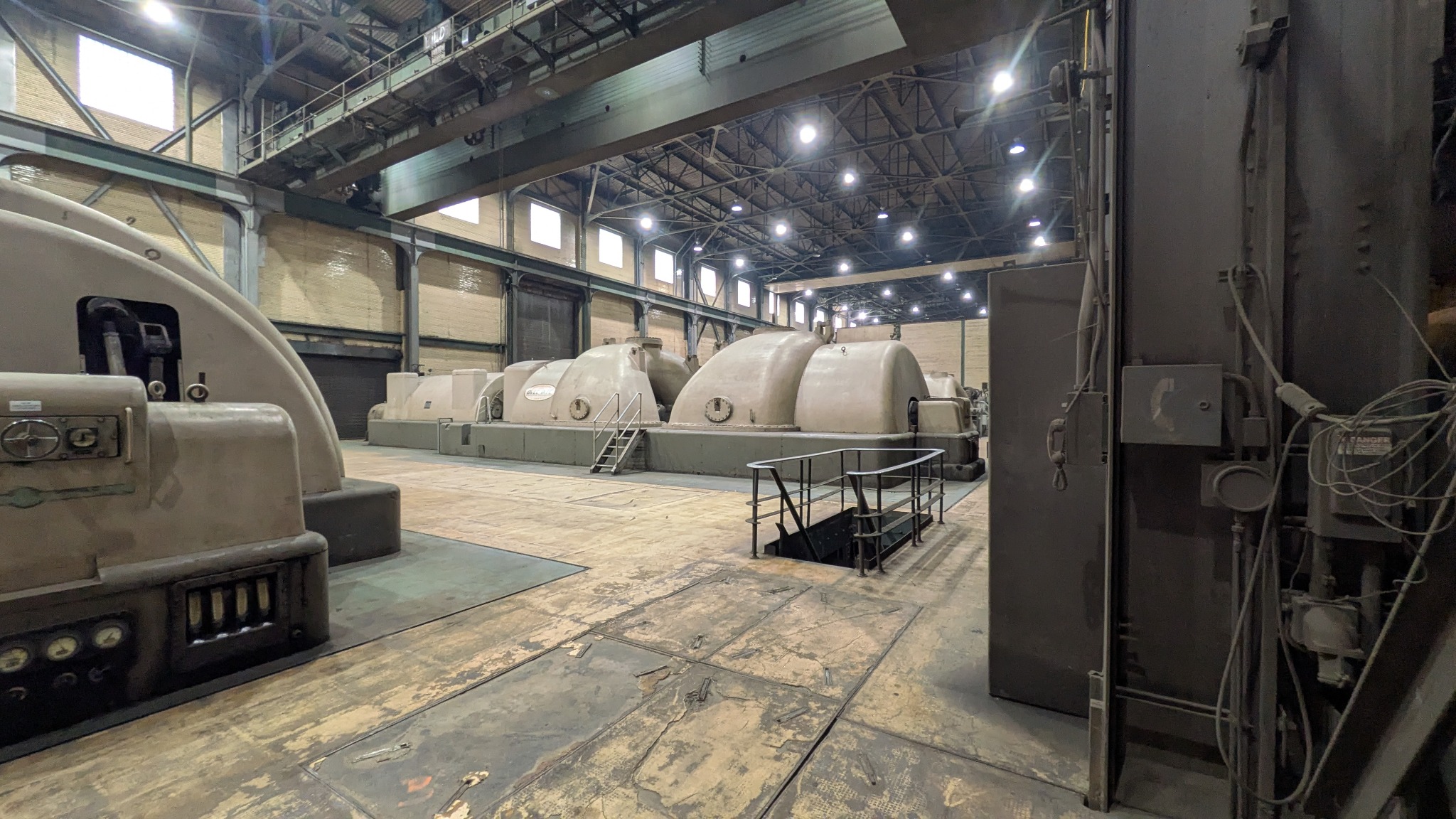
This industrial-facility example shows how registered 3D capture becomes a usable documentation set. Exterior views establish the building envelope, roof geometry, elevations, adjacent circulation, and access conditions. Interior views retain the operating layout, structural bays, equipment zones, and spatial constraints that drive renovation and engineering decisions.

SSD can provide the registered point cloud, ReCap files, Revit-linked context, and targeted existing-condition plans, sections, elevations, or models needed for the scope of work.
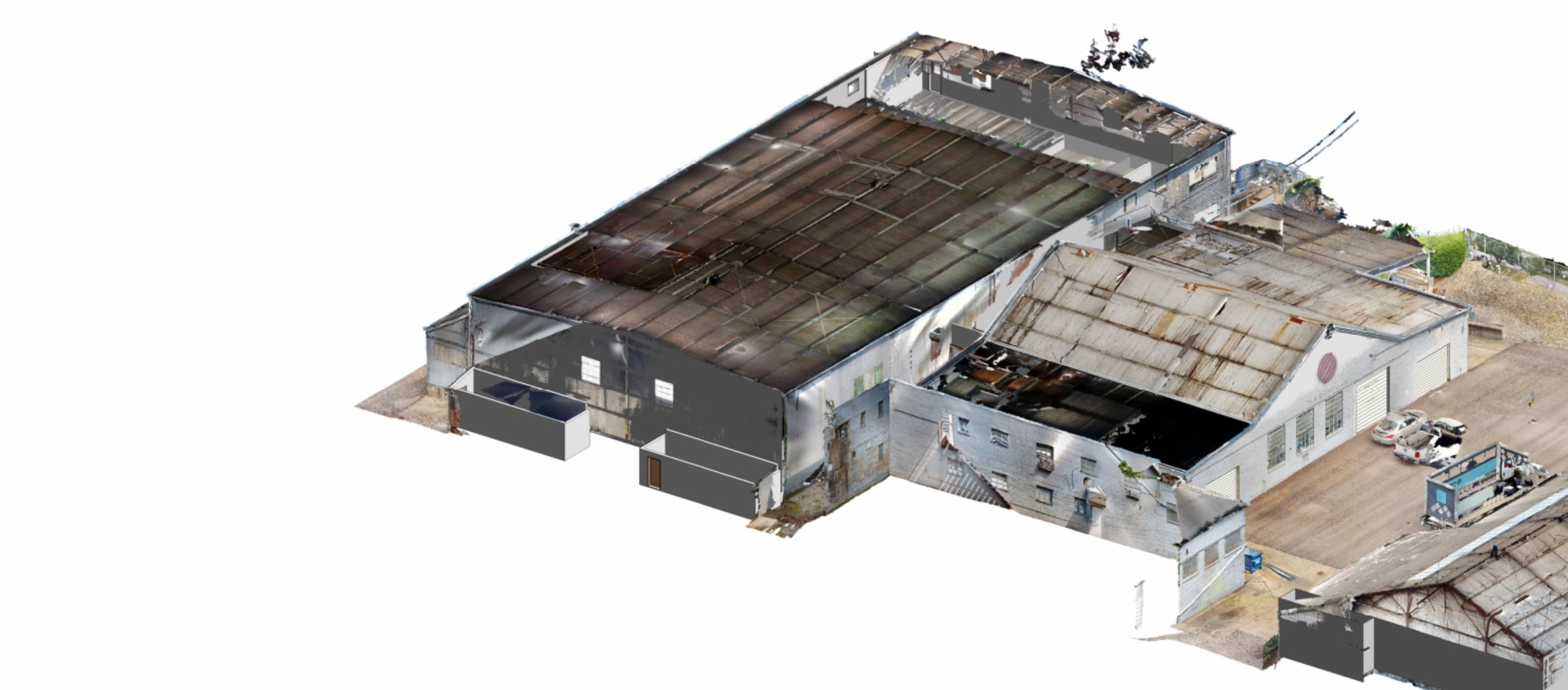
Anonymized exterior 3D existing-condition facility viewAnonymized interior 3D existing-condition facility view

Built for complex conditions

Useful where
accuracy matters.

01

Industrial retrofits

Coordinate new conveyors, platforms, pipe supports, equipment, and structural modifications around active process systems.

02

Commercial renovations

Document structure, floor elevations, facade conditions, and concealed constraints before an addition or interior transformation is designed.

03

Existing structure assessment

Build a reliable record for repair, reinforcement, load-path investigation, or future planning in difficult-to-access areas.

04

Construction coordination

Give architects, engineers, fabricators, and contractors the same field-verified reference during preconstruction and installation.

Representative applications

Existing-condition questions,
answered before design.

These examples illustrate where a scan-to-BIM workflow can sharpen the existing-condition information available to an engineering team. Project and client identifiers are intentionally omitted.

01

Exterior egress upgrades

A scan can establish the actual relationship of facade framing, existing landings, openings, and grade before a new exterior stair or fire-escape system is engineered.

02

Sidewalk + storefront coordination

Point-cloud documentation helps project teams validate storefront geometry, sidewalks, door clearances, utilities, and pedestrian routes when space is tight.

03

Roof additions + retrofits

Terrestrial scanning creates a dependable existing-condition reference for roof framing, parapets, elevations, support locations, and interfaces with an existing structure.

Start with the facts

Bring existing conditions
into focus.

Plan a scan

Pittsburgh, Pennsylvania
412.818.2426
saksasteve@gmail.com